
Finding Your Enid Neighbors
Public records around an Enid address answer separate questions. A map can place the target parcel beside nearby parcels. The assessor's tax-roll route can identify an owner of record. A deed index can show the recorded transfer history, while a historic directory may supply a dated occupant clue. These are not interchangeable. Owner of record does not establish occupancy, and a historic name at an address does not establish a current neighbor. Use each layer as a dated lead, not as a complete household list.
| Source | What It Shows About a Block | Access |
|---|---|---|
| Enid GIS parcel layer | Parcel geometry, map position, adjacent-parcel context, and planning overlays | Public ArcGIS service; live viewer fields need verification |
| Garfield Assessor | Tax-roll parcel and owner context, with possible mailing and situs distinction | Dynamic QPublic route after its disclaimer |
| Garfield deed index | Recorded grantor, grantee, legal description, and instrument events | Search by legal fields, date, and instrument type |
| Enid CivicWeb and City Clerk | Public street, easement, ordinance, permit, and board actions | Keyword and advanced search, or a records request |
| Historic directory or map | Dated address, building, or neighborhood context | Library, Heritage Center, Gateway, LOC, or OHS |
For a small Enid neighbor question, start with the target parcel and save its legal description. Then keep a separate date for the map, tax roll, deed, and historical source. This avoids turning a map position or owner mailing address into a claim about the people currently on the block.
Enid Parcels Around Neighbors
The official Enid GIS parcel service supports map operations including Identify, Query, Find, Export Map, and Generate KML. Its published metadata also reports JSON, GeoJSON, and PBF query formats, a maximum record count of 1,000, and a maximum selection of 2,000. Those capabilities describe the map infrastructure, not a promise about a particular live parcel card. The automated review could not capture the dynamic viewer's exact search and adjacent-parcel fields, so confirm them in the live tool before relying on a displayed label.
The Garfield County Assessor landing page says its data comes from the last certified tax roll and that other data can change. Use the assessor and GIS together to check whether the parcel ID, legal description, and mapped location agree. Zoning and flood layers are useful Enid planning context, but they are not ownership proof.
Mapping an Enid Block
Work outward from one address, not from a broad name search. Preserve the original street spelling and directional suffix, then locate the parcel in the official map or assessor route. Capture only the parcel ID, legal description, and adjacent parcel identifiers actually displayed. An Enid block may cross additions, planning overlays, or historical naming conventions, so an address is a useful entry point but not the final legal description.
Address → target parcel → legal description → adjacent parcel IDs → recorded deed events → dated historic context.
Use the Garfield County legal index after the parcel step. It offers searches by addition, township, block, instrument type, and date range, as well as Legal Name and book/page modes. For a whole named street rather than the immediate block, the Enid street directory follows the broader by-address record chain.
Enid Deeds for Neighbor Blocks
A recorded deed identifies a title event, not a current household. The Garfield index displays Rec#, Grantor, Grantee, Date, instrument type, Book, and Page. Save that index result before requesting a document. The county site states that saved online records begin in 2003. For earlier work, ask the Register of Deeds about deed books, grantor/grantee indexes, the in-house database described back to 1988, and certified copies. Keep addition, block, lot, or township-range wording exactly as recorded.
Plats bridge the gap between a street address and the legal description. They can show an addition, block, lot, and earlier street layout, but a plat or a deed should not be used to infer who occupies every neighboring parcel.
Enid Kenwood and Waverley
Kenwood and Waverley provide documented neighborhood context, not resident rosters. Kenwood was platted in 1894. Waverley additions date from 1902, 1905, 1906, and 1907, and the Waverley Historic Neighborhood Association formed in 1998. The historic guideline and Chamber directory describe active Kenwood and Waverley associations and neighborhood-watch programs. Use them to find a current public contact or local history lead, then verify the contact before reaching out.
The Greater Enid Chamber organizational directory is a public source for documented civic contacts.
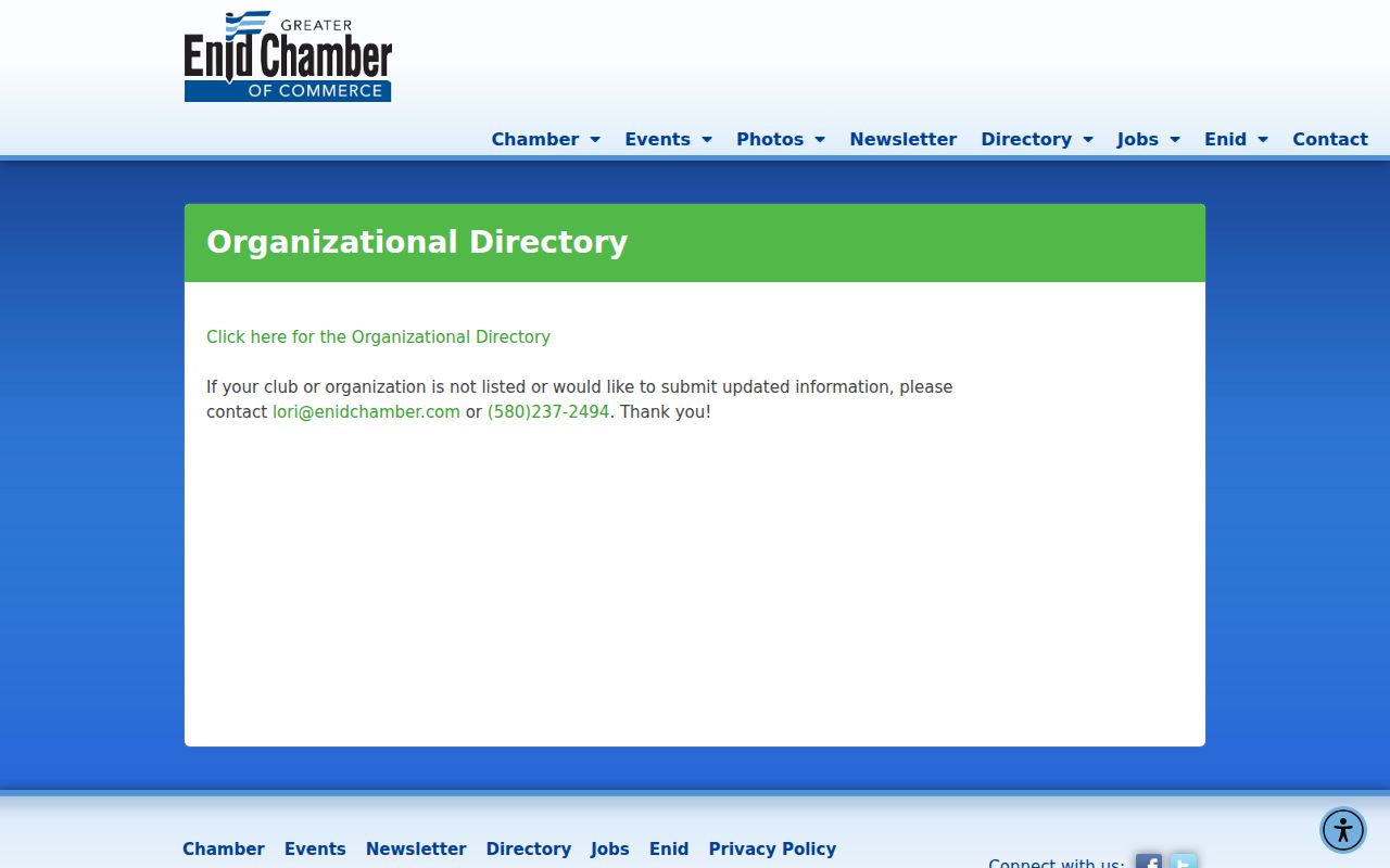
The Chamber directory is an organization directory, not a block-resident list. It helps identify a custodian or public program without proving that a person lives in a particular home.
| Association or Civic Layer | Documented Use | Boundary or Directory Limit |
|---|---|---|
| Kenwood Neighborhood Association | Public association and neighborhood-watch contact lead | Member roster was not located |
| Waverley Historic Neighborhood Association | Public association and historic-neighborhood lead | Use the historic guideline and ordinance for boundaries |
| Historic District Commission | Public board, meeting, and district information | Board participation does not establish neighborhood residence |
| Chamber organizational directory | Public civic and organization contacts | Organizations choose what to publish |
Enid Voter Neighbor Limits
Oklahoma's voter tools provide individual verification and election-service functions, not a public street-sliced Enid neighbor result. The Oklahoma Voter Portal uses the registered name and date of birth for verification. Public election information can include precinct, district, municipality, county, registration date, and election dates or method, but the state restricts sensitive identifiers. The inspected sources did not locate a public, official street-wide voter screen.
Note: Protected voter classes and Address Confidentiality Program participants can have additional access limits, so a missing name or address may be an intentional privacy outcome.
Enid Maps for Neighbor Context
Historic maps give an Enid block a time and place. Enid map coverage reaches back to 1894, and a 1925 Sanborn image can show street labels, building footprints, stories, materials, and use. That context is especially helpful where a street, building, or addition changed, but it does not identify occupants. Pair a map with a dated directory, newspaper page, plat, or deed before making an address-history claim.
The Enid municipal code is the appropriate source for checking block-and-lot-specific historic-district boundaries and HP overlay treatment.
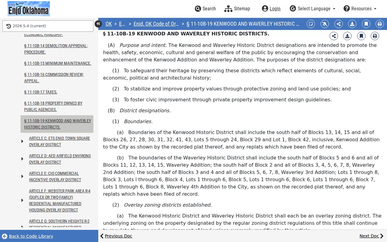
Do not assign an address to Kenwood or Waverley from a broad neighborhood impression. Confirm its block and lot against the ordinance boundary and the recorded legal description.
Enid Neighbor Lookup Limits
Some facts about an Enid block remain private even where the map is public. GIS adjacency can show parcels, but it does not make every occupant, renter, household member, utility customer, or delivery recipient public. A mailing address can differ from a parcel location. Court rules, voter restrictions, the Address Confidentiality Program, and driver-data protections can each limit what an office discloses. The correct result can be protected or not publicly disclosed.
Lawful use. Use Enid neighbor records for personal, lawful research and civic context. Do not use public information to stalk, harass, intimidate, or harm another person.
Official records and commercial neighbor tools serve different purposes. The category comparison below keeps the source role clear without treating any compilation as a substitute for a custodian record.
| Source Type | Useful For | Important Limit |
|---|---|---|
| Official parcel, deed, or map record | Dated parcel, title-event, or boundary evidence | May not establish present occupancy |
| Official civic or historical collection | Dated meeting, directory, newspaper, or map context | Must be read with its publication date |
| Commercial neighbor compilation | A possible lead to verify independently | Source mix, refresh, correction process, and identity matching vary |